Showing most recent first, in descending order
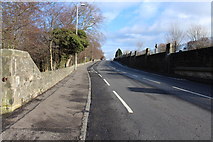
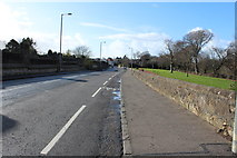
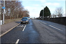
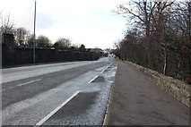
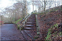
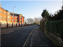
30 images in cluster Holmston Road in NS3421
Image clustering - assigning images labels - is an automated process, based on the image title/description. It's not totally accurate, and can sometimes assign images to odd clusters
Explore these images in the Browser or Explore matching images including in surrounding squares (if any!)
Other Automatic clusters in NS3421
- River Ayr
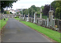
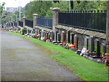
- Ayr Cemetery
- Ayr Railway Station
- Station Road
- Ayr College
- Way
- Ayr Highland Gathering
- Station Hotel
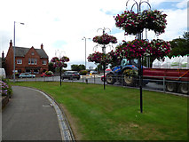
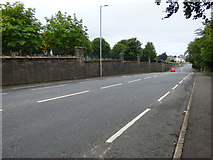
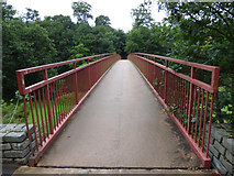
- Holmston Road
- Footpath
- Ayrshire
- Hotel Building
- Turner's Bridge
- Craigholm Bridge
- Craigie Way
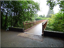
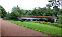
- Footbridge across the River Ayr
- Town
- Car Park
- New Ayr
- Riverside Footpath
- Path
- Category a Listed former Mansion House
- River Ayr Walk
- Memorial
- Castlehill Road
- Smith Street
- Town Centre
- Dam Park Stadium
- Robert Burns
- Roundabout
- Riverside Walkway
- Victoria Bridge
- Craigie Avenue
- Train Number
- Mill Brae
- Railway Viaduct
- John Street
- Craigie Estate
- Council Allotments
- Tower
- Craigie Gardens
- Blocks of Flats
- A70 Holmston Road
- North South
- Carries the Line
- Coila at the University of the West
- Temporary Entrance
- Lothian Road
- Carriage Sidings
- Approaching the Junction
- Cemetery Gate
- Platforms 1 and 2 have been Truncated
- Dongola Road
- Boundary of the Campus
- Building was Built as a Replacement
- Morrisons Supermarket
- Temporary Booking Office in the Portakabin
- Strathayr Place
- January 2019 View at 6024462
- Downstream side of the Viaduct
- Footballs Caught in the Weir
- Footbridge Built
- Grave Web