Showing most recent first, in descending order
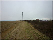
6 images in cluster Humber Bank in TA2418
Image clustering - assigning images labels - is an automated process, based on the image title/description. It's not totally accurate, and can sometimes assign images to odd clusters
in TA2418, near Sunk Island
Explore these images in the Browser or Explore matching images including in surrounding squares (if any!)
Other Automatic clusters in TA2418
- Stone Creek Farm
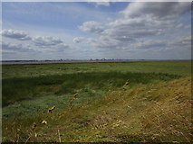
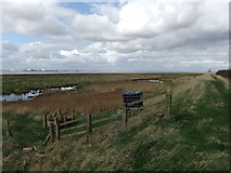
- Humber Bank
- Sunk Island
- West Bank
- Field
- Farm Track
- Looking
- River Humber
- Stone Creek Farm Cottages
- Southeast of Stone Creek
- Open
- Humber Embankment
- East of Stone Creek