Showing most recent first, in descending order
5 images in cluster Junction with Church Lane Bull's Road in TM1451
Image clustering - assigning images labels - is an automated process, based on the image title/description. It's not totally accurate, and can sometimes assign images to odd clusters
in TM1451, near Barham/TM1451, by Geographer
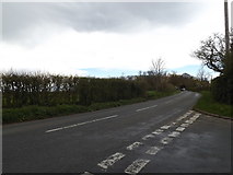
When: 26 April, 2016
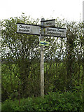
When: 26 April, 2016
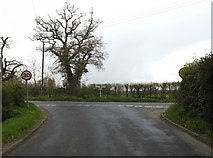
When: 26 April, 2016
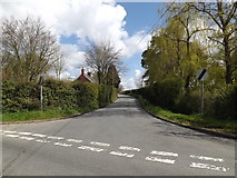
When: 17 April, 2016
When: 17 April, 2016
Explore these images in the Browser or Explore matching images including in surrounding squares (if any!)
All images  © Geographer and licensed for reuse under this Creative Commons Licence
Other Automatic clusters in TM1451
- Church Lane
- Barham Green
- Croft the Green Postbox
- Village
- Sign
- Near
- Henley
- Junction with Church Lane Bull's Road
- Barham Common
- Cooper's Road Footpath
- Roadsign
- Pond Farm
- Footpath to Rede
- Croft the Green Postbox Village Notice Board
- Near Barham Green
- Rede Wood
- Looking
- Farmhouse
- Near Red House Farm