Showing most recent first, in descending order
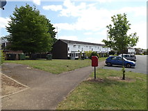
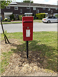
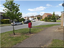
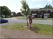
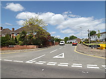
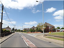
18 images in cluster Junction with Taylor Road in TM1179
Image clustering - assigning images labels - is an automated process, based on the image title/description. It's not totally accurate, and can sometimes assign images to odd clusters
in TM1179, near Diss, taken Saturday, 16 May, 2015, by Geographer
Explore these images in the Browser or Explore matching images including in surrounding squares (if any!)
All images  © Geographer and licensed for reuse under this Creative Commons Licence
Other Automatic clusters in TM1179
- Diss Park
- Road at the Junction
- B1077 Denmark Street
- Diss Town
- Market Place
- A1066 Park Road
- Postbox No.IP22
- Near Diss
- Church Street
- Fair Green
- Public House
- Diss is a Market Town Situated
- River Waveney
- A1066 Victoria Road
- Junction with the B1077 Denmark Street
- St Mary's Church
- Denmark Hill
- Shops in Mere Street
- A1066 Stanley Road
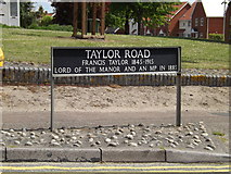
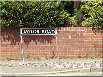
- Taylor Road
- Looking
- Entrance
- Parkside Court
- Croft Lane
- Thatchers Needle Public House
- Cock
- Park Road Car Park
- Corn Hall
- Fountain
- Pavilion
- Denmark Rise
- Junction with Gainsborough Avenue
- Post Office
- A1066 Victoria Road at the Junction
- Diss fire Station
- Dolphin House
- United Reformed Church
- Near the Pavilion
- Diss District Bowls Club
- Denmark Green Postbox
- Norfolk Feather Company
- Underground Springs Near to the Northern Edge
- Baptist Church
- Information Board
- Spice Cottage
- Cut Mark
- Information Sign
- Croft Close
- Park Hotel
- Chapel on Fair Green
- Doubleday Close
- Fishing Station
- Parkside Court Sign
- Halifax Bank
- Wider View of this Location