Showing most recent first, in descending order
110 images in cluster Landcover: Broadleaf woodland in SD9926 Image clustering - assigning images labels - is an automated process, based on the image title/description. It's not totally accurate, and can sometimes assign images to odd clusters
in SD9926 , near Hebden Bridge
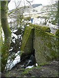
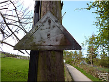
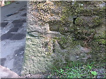
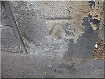
Ordnance Survey Cut Mark with recess for Pivot When: 11 May, 2017 By: Peter Wood
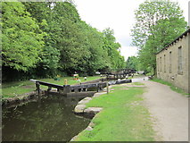
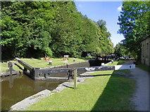
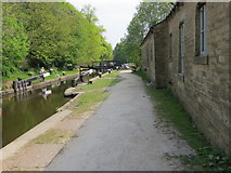
Rochdale Canal, Tow Path and Lock near Mayroyd Mill When: 11 May, 2017
By: Peter Wood
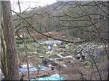
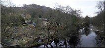
Flood damaged allotments next to the River Calder in Hebden Bridge When: 12 March, 2016 By: Steve Whalley
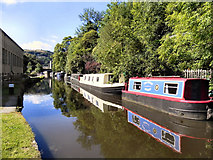
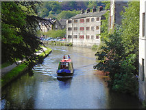
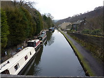
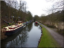
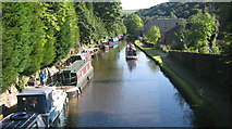
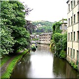
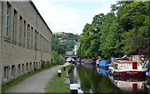
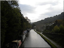
The Rochdale Canal in Machpelah When: 4 September, 2015 By: Bobby Clegg
Cut Mark Burnley Rd Hebden Bridge When: 30 August, 2015 By: Monica Stagg
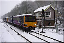
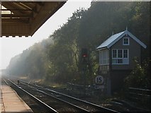
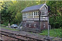
Hebden Bridge signal box When: 29 May, 2015 By: El Pollock
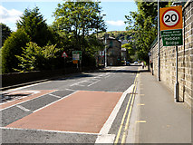
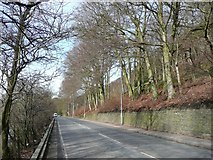
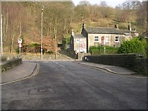
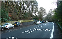
The A646 at the driveway to Mayroyd When: 15 December, 2014 By: Humphrey Bolton
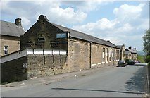
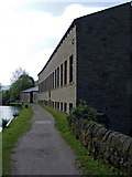
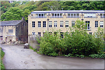
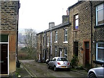
Industrial building on Crow Nest Road When: 27 October, 2014
By: Humphrey Bolton
Rochdale Canal, Hebden Bridge (3) When: 8 October, 2014 By: Richard Vince
Tadpole - a floating garden When: 26 August, 2014 By: Graham Hogg
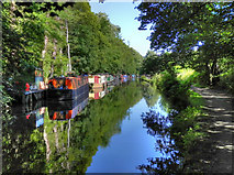
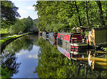
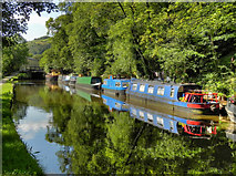
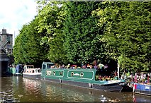
Moorings below Mayroyd Mill Lock [No 8], Rochdale Canal When: 5 May, 2014 By: Christine Johnstone
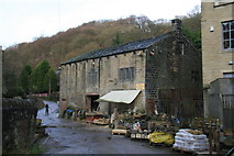
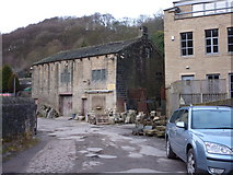
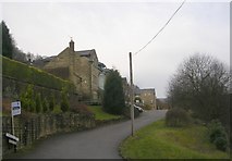
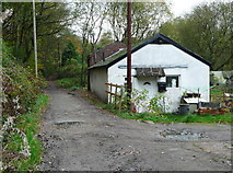
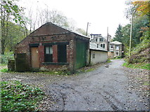
Stonemason's works, Mayroyd, Hebden Bridge When: 14 December, 2013 By: Chris Allen
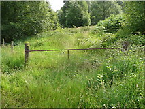
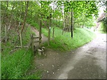
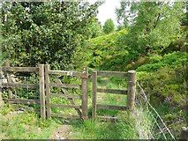
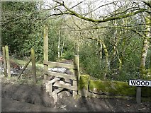
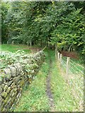
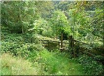
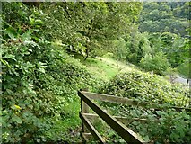
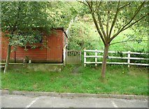
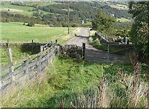
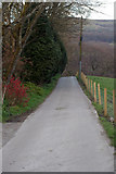
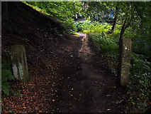
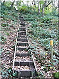
Gate on Hebden Royd FP45 off Wood Hey Lane When: 15 July, 2013 By: Humphrey Bolton
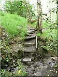
Hebden Royd Footpath 45 crossing a little stream When: 18 June, 2013
By: Humphrey Bolton
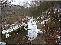
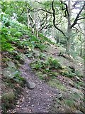
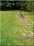
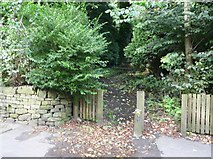
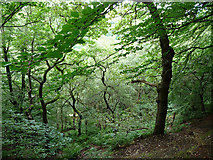
Erringden Footpath 4 in Crow Nest Wood When: 18 June, 2013
By: Humphrey Bolton
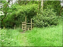
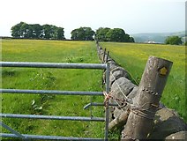
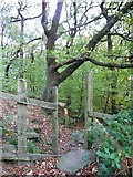
Stile off Wood Hey Lane, Mytholmroyd When: 30 March, 2013
By: Humphrey Bolton
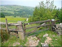
Hebden Royd Footpath 45 north of Wood Hey Lane When: 30 March, 2013
By: Humphrey Bolton
Narrow paving on Hebden Bridge Footpath 11 When: 30 March, 2013
By: Humphrey Bolton
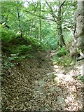
Footpath in Crow Nest Wood, Erringden When: 30 March, 2013
By: Humphrey Bolton
Class 144s approaching Hebden Bridge station When: 21 January, 2013 By: Phil Champion
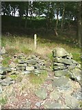
Hebden Royd FP17 above Higher May Royd Wood When: 3 September, 2012 By: Humphrey Bolton
Hebden Royd FP17
in Higher May Royd Wood When: 3 September, 2012
By: Humphrey Bolton
The eastern junction of Hebden Royd FP17 with Burnley Road When: 3 September, 2012
By: Humphrey Bolton
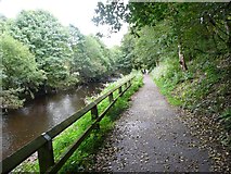
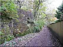
Cycle path alongside the River Calder When: 3 September, 2012
By: Humphrey Bolton
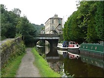
Station Road canal bridge, Hebden Bridge When: 3 September, 2012
By: Humphrey Bolton
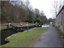
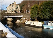
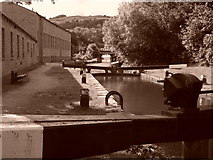
Mayroyd Mill Lock When: 30 May, 2012 By: Ian S
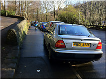
Pavement parking on Burnley Road, Hebden Bridge When: 3 March, 2012 By: Phil Champion
Pavement parking on Burnley Road, Hebden Bridge
When: 3 March, 2012
By: Phil Champion
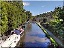
Rochdale Canal, Hebden Bridge When: 24 July, 2011 By: David Dixon
Rochdale Canal
at Mayroyd When: 24 July, 2011
By: David Dixon
Rochdale Canal
, Mayroyd When: 24 July, 2011
By: David Dixon
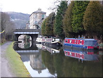
Rochdale Canal,
Bridge 15 When: 24 July, 2011
By: David Dixon
Rochdale Canal
, Mayroyd Mill Lock When: 24 July, 2011
By: David Dixon
Burnley Road, Hebden Bridge When: 24 July, 2011
By: David Dixon
Rochdale Canal, Hebden Bridge When: 24 July, 2011
By: David Dixon
Rochdale Canal, Hebden Bridge
When: 24 July, 2011
By: David Dixon
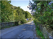
Unusual road sign on Wood Hey Lane When: 17 April, 2011 By: Phil Champion
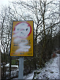
Defaced warning notice, Wood Top Road, Hebden Bridge When: 7 January, 2011 By: Phil Champion
Checking the points near Hebden Bridge Station When: 26 July, 2010 By: Phil Champion
Palace House Road Works, Hebden Bridge When: 13 May, 2010 By: Humphrey Bolton
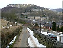
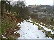
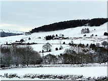
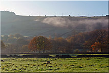
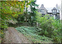
View across Stubb Clough to Park Farm and Park Fold When: 6 January, 2010 By: Phil Champion
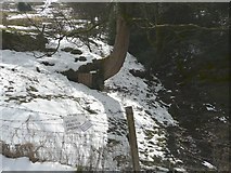
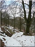
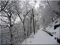
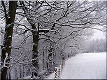
Wood Top Road after heavy snowfall When: 5 January, 2010 By: Phil Champion
Top of Crow Nest Wood after heavy snowfall When: 5 January, 2010
By: Phil Champion
Fly Agaric toadstools, Wood Hey, Mytholmroyd When: 1 October, 2009
By: Humphrey Bolton
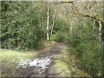
Rochdale Canal towpath by Mayroyd Mill When: 29 May, 2009
By: Phil Champion
Canal Bridge at Station Road When: 7 February, 2009 By: SMJ
Rochdale Canal Hebden Bridge When: 28 September, 2008 By: Paul Anderson
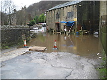
Mayroyd Lane flooded, Hebden Bridge When: 21 January, 2008 By: Maureen Brian
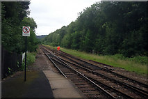
Track layout east of Hebden Bridge When: 20 October, 2007 By: Stephen Craven
Crow Nest Road (footpath), Hebden Bridge When: 2 September, 2005 By: Phil Champion
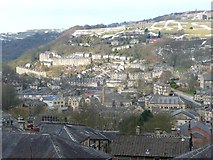
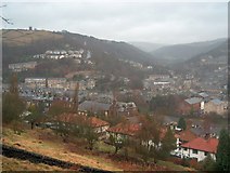
Hillside above Hebden Bridge When: 30 January, 2004 By: Bill Boaden
Showing sample of 100 of roughly 110 matching images, explore them more in the Browser or Explore matching images including in surrounding squares (if any!)
Other Automatic clusters in SD9926
Landcover: Suburban Landcover: Broadleaf woodland Landcover: Improved grassland Hebden Bridge Railway Station Rochdale Canal Wood Top Platform 2 at Hebden Bridge Station Erringden Station Road Royd Mayroyd Lane Crow Nest River Calder Palace House Road Erringden Footpath Mayroyd Mill Spencer Lane Old Chamber Ordnance Survey Benchmark Snow Farm Signal Box Lock Wood Hey Calder Valley Seen Burnley Road Looking East Mytholmroyd Ordnance Survey Cut Mark Benchmark Described Looking West Mayroyd Moorings Trees Stile on Erringden Footpath Waiting Carr House Landcover: Heather grassland Boundary Rochdale Canal Towpath Car Parking Eastbound Platform Gas Works Northern Rail New Road Building on the Right Burnley Road A646 Service to Manchester Victoria Sheep Near Bus Stop Path Goes Alongside the Wall Ticket Office Lamp Room Landcover: Acid grassland View across the Upper Calderdale Valley Unless Signs Permit Guildford Street Buckley Stone Snow Shower Cancelled Train Grassy Track Railway Embankment

![SD9926 : Moorings below Mayroyd Mill Lock [No 8], Rochdale Canal by Christine Johnstone](https://s1.geograph.org.uk/geophotos/03/97/73/3977397_0153b265_213x160.jpg)
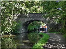
![SD9926 : Mayroyd Bridge [No 15], Rochdale Canal by Christine Johnstone](https://s3.geograph.org.uk/geophotos/03/97/73/3977387_54e36e5b_213x160.jpg)