Showing most recent first, in descending order
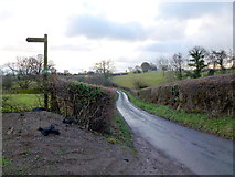
2 images in cluster Lane in SO3528
Image clustering - assigning images labels - is an automated process, based on the image title/description. It's not totally accurate, and can sometimes assign images to odd clusters
in SO3528, near Lower Maes-coed
Explore these images in the Browser or Explore matching images including in surrounding squares (if any!)
Other Automatic clusters in SO3528
- Lower House Road
- Ruthland Farm
- Trees
- Buttercup Meadow
- Entrance to Mynydd-ferddin Farm
- Heading
- Hedge
- Lane
- North