Showing most recent first, in descending order
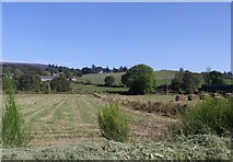
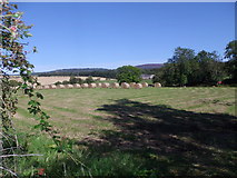
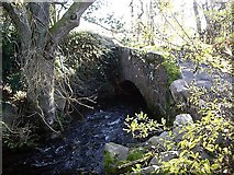
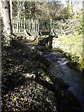
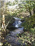
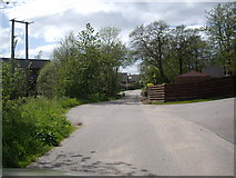
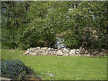
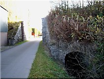
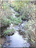
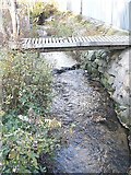
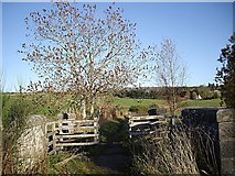
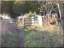
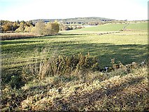
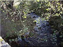
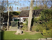
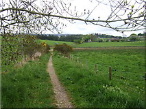
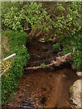
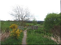
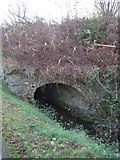
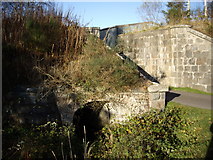
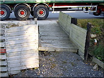
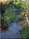
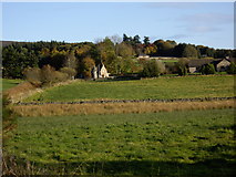
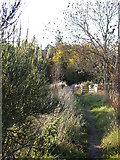
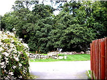
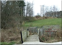
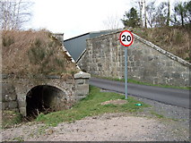
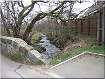
29 images in cluster Learney Burn in NJ6201
Image clustering - assigning images labels - is an automated process, based on the image title/description. It's not totally accurate, and can sometimes assign images to odd clusters
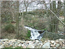
in NJ6201, near Torphins, by Stanley Howe
When: 2 September, 2014
When: 2 September, 2014
When: 30 October, 2010
When: 30 October, 2010
When: 30 October, 2010
When: 2 June, 2010
When: 2 June, 2010
When: 26 October, 2008
When: 26 October, 2008
When: 26 October, 2008
When: 26 October, 2008
When: 26 October, 2008
When: 26 October, 2008
When: 26 October, 2008
When: 26 October, 2008
When: 22 May, 2008
When: 22 May, 2008
When: 22 May, 2008
When: 24 November, 2007
When: 26 October, 2007
When: 26 October, 2007
When: 26 October, 2007
When: 26 October, 2007
When: 26 October, 2007
When: 17 September, 2007
When: 16 March, 2007
When: 16 March, 2007
When: 16 March, 2007
When: 16 March, 2007
Explore these images in the Browser or Explore matching images including in surrounding squares (if any!)
All images  © Stanley Howe and licensed for reuse under this Creative Commons Licence
Other Automatic clusters in NJ6201
- Craigour
- Craigmyle Road
- Junction
- Woodside Road
- William Street
- Learney Burn
- Craigour Avenue
- Torphins Garden
- Torphins Cemetery
- B993
- Beltie Burn
- South
- Deeside
- Near
- Inchley Place
- Annesley Grove
- Crescent
- Learney Hall
- Waulkmill Farm
- Tree
- Bungalow
- Learney Arms Hotel
- Entrance
- Approach
- Woodside Croft
- Wynd with A980
- Brooks Road
- Old Deeside Railway
- Balvenie Road
- Square
- Park
- Kinnairdy Terrace
- Bridge Crescent
- Building
- Alma House
- School
- Kincardine O'Neil
- Estate
- Torphins Garden in August
- Edinggight Wynd
- Craigmyle Mills
- Memorial
- Village Crossroads
- Field Boundary
- Cemetery Wall
- Health Centre
- United Free Church
- Annesley Park
- Gala Day
- Lorry Depot
- Bank House
- William St
- Coat of Arms
- Station Square
- Garden Fence
- Opposite Corner
- Beneath the Old
- Winter's Day
- Bridle Path
- Double Garage
- Access Lane
- Cottage Hospital
- Kerloch Crescent
- Rear View