Showing most recent first, in descending order
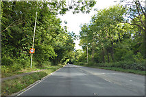
images in cluster London Road in SU2068
Image clustering - assigning images labels - is an automated process, based on the image title/description. It's not totally accurate, and can sometimes assign images to odd clusters
in SU2068, near Marlborough/SU1869, taken Sunday, 16 September, 2018, by Robin Webster
Explore these images in the Browser or Explore matching images including in surrounding squares (if any!)
All images  © Robin Webster and licensed for reuse under this Creative Commons Licence
Other Automatic clusters in SU2068
- Forest Hill
- Addition to this through Railway
- Choppingknife Lane
- Savernake Forest
- Road from London to Bath
- Chopping Knife Lane
- Savernake Hospital
- Alexander Keiller
- Speed Limit
- Toll House by the A4
- Phone Box
- Modern Milepost
- Marlborough Railway Path and it has Obviously
- Furze Coppice
- Track in Savernake Forest in the Vicinity