Showing most recent first, in descending order
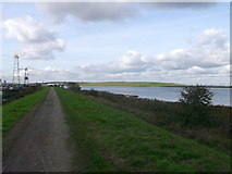
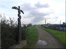
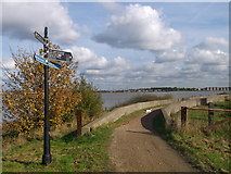
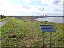
4 images in cluster Long Distance Path Leads along a Path in TQ5378
Image clustering - assigning images labels - is an automated process, based on the image title/description. It's not totally accurate, and can sometimes assign images to odd clusters
in TQ5378, near Coldharbour/TQ5278, taken Tuesday, 30 October, 2012, by David Anstiss
Explore these images in the Browser or Explore matching images including in surrounding squares (if any!)
All images  © David Anstiss and licensed for reuse under this Creative Commons Licence
Other Automatic clusters in TQ5378
- View Looks
- River Thames Near Crayford Ness
- Saltings
- Darent Industrial Estate
- Yacht on the River Thames
- Erith Saltings
- Aveley Marshes
- Long Distance Path Leads along a Path
- Dartford Creek
- River Darent Flood Barrier
- Scrapyard
- Information Board
- Communication
- West from Crayford Ness
- Tracks Type National Cycle Network Cycle Milepost
- Thames Shore at Aveley Marshes
- Taken Looking
- Shoreline
- Erith Oil Works while the Gasholders
- Erith Rands
- Zoom