Showing most recent first, in descending order
5 images in cluster Looking in TM2055
Image clustering - assigning images labels - is an automated process, based on the image title/description. It's not totally accurate, and can sometimes assign images to odd clusters
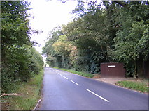
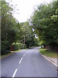
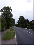
in TM2055, near Otley/TM2055, by Geographer
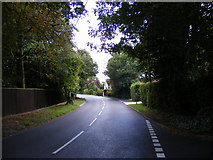
When: 15 August, 2011
When: 15 August, 2011
When: 12 August, 2011
When: 12 August, 2011
When: 13 January, 2009
Explore these images in the Browser or Explore matching images including in surrounding squares (if any!)
All images  © Geographer and licensed for reuse under this Creative Commons Licence
Other Automatic clusters in TM2055
- Footpath
- Ipswich Road
- B1079 Helmingham Road
- Village Sign
- Road Sign
- B1079 Church Road
- White Hart Public House
- Otley Village Hall
- Post Office
- Memorial At Otley
- Hall Lane
- Footpath to Ipswich Road the B1079
- Near
- Footpath to the B1079 Helmingham Road
- Looking
- Otley Baptist Chapel
- Vine Road
- Farm
- Junction with Ipswich Road
- Junction with Hall Lane
- Road to Clopton Green
- Pearl Close
- Otley Village Notice Board
- Otley Surgery
- Seat of the Family of Bartholomew Gosnold
- TravelSafe Coach Depot
- Centre