Showing most recent first, in descending order
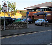
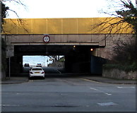
2 images in cluster Low Bridge in SH8479
Image clustering - assigning images labels - is an automated process, based on the image title/description. It's not totally accurate, and can sometimes assign images to odd clusters
in SH8479, near Colwyn Bay/Bae Colwyn, taken Tuesday, 23 February, 2016, by Jaggery
Explore these images in the Browser or Explore matching images including in surrounding squares (if any!)
All images  © Jaggery and licensed for reuse under this Creative Commons Licence
Other Automatic clusters in SH8479
- Prince's Drive
- Colwyn Bay Beach
- Corner of Conway Road
- West Promenade
- A547 Conway Road
- Prince's Drive from the Corner
- Station Road
- New Council Offices
- Penrhyn Road
- Church was Built
- Princess Court
- St John's Methodist Church
- Ordnance Survey Cut Mark
- Post Office
- Tax Office
- Sea Defence Work
- Rydal School
- Rhos-on-Sea
- Corner of Egerton Road
- Hotel Rothesay
- Beach is Currently
- Bank Branch
- Upper Promenade
- Wales Coast Path
- North Wales Expressway
- Civic Centre see 1212912
- Construction of a New
- Smith Sons Shop
- Pwllycrochan Avenue
- Warning Signs
- Old Market Hall
- Marine Parade
- Penwythnos Pedwardegau Forties Weekend 2017
- Penrhos College
- Bilingual Welsh English
- A55 Expressway
- Memorial was Moved here in 1964
- Vivid Illustration of the Thriving Holiday Business
- Ocean View
- St Joseph's Catholic Primary School
- Aerial 2015
- Opposite the Picture House Pub
- Low Bridge
- Llandrillo Yn Rhos
- Reflections in Queen's Gardens Pond
- Public Toilets
- A.547 Near to Llandrillo-yn-Rhos
- Marine-dredged Sand