Showing most recent first, in descending order
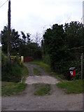
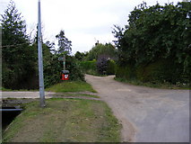
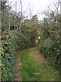
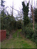
5 images in cluster Low Road Knodishall Footpath Nos.26 35 in TM4159
Image clustering - assigning images labels - is an automated process, based on the image title/description. It's not totally accurate, and can sometimes assign images to odd clusters
in TM4159, near Friston/TM4160, taken Friday, 29 July, 2011, by Geographer
Explore these images in the Browser or Explore matching images including in surrounding squares (if any!)
All images  © Geographer and licensed for reuse under this Creative Commons Licence
Other Automatic clusters in TM4159
- B1121 Aldeburgh Road Knodishall Footpath
- A1094 Aldeburgh Road Knodishall Footpath No.30
- Knodishall Whin
- Looking towards Aldeburgh
- Footpath to Mill Road
- Knodishall Footpath No.26
- Near Friston
- Low Road Knodishall Footpath No.30
- Junction
- Knodishall Footpath No.35
- Field
- Friston Mill
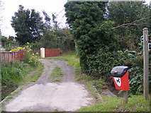
- Low Road Knodishall Footpath Nos.26 35
- A1094 Aldeburgh Road Knodishall Footpath No.25
- Chase's Lane
- Pillboxes of the same Design
- Bridleway
- Restricted Byway to Priory Road
- Part of Black Heath
- Near the Footpath to Low Road
- Sign
- Approaching the A1094
- Enters
- Prime Landing Spot for the Nazis Invasion
- Entrance