Showing most recent first, in descending order
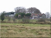
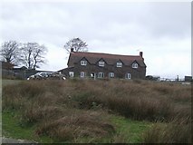
2 images in cluster Lower Random in SO6077
Image clustering - assigning images labels - is an automated process, based on the image title/description. It's not totally accurate, and can sometimes assign images to odd clusters
in SO6077, near Cleeton St Mary, taken Saturday, 3 November, 2007, by John M
Explore these images in the Browser or Explore matching images including in surrounding squares (if any!)
All images  © John M and licensed for reuse under this Creative Commons Licence
Other Automatic clusters in SO6077
- Random Farm
- Radar Station
- Common
- Rough Grazing
- Random Moor and Clee Hill Radar
- Part of Titterstone Clee Hill
- Lower Random
- Hoar Edge
- Farmland on Clee Hill
- Fact a Marker Called the Three-Forked
- Significant Shropshire Hills from Near Random Farm