Showing most recent first, in descending order
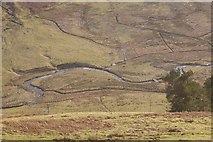
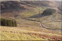
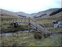
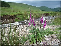
4 images in cluster Manor Water in NT1928
Image clustering - assigning images labels - is an automated process, based on the image title/description. It's not totally accurate, and can sometimes assign images to odd clusters
in NT1928, near Langhaugh/NT2031
Explore these images in the Browser or Explore matching images including in surrounding squares (if any!)
Other Automatic clusters in NT1928
- Looking
- Public Road
- Head of the Manor Valley
- Footbridge over Manor Water
- Sting Rig
- Manorhead Farm
- Path to Megget
- Track to Manorhead
- Slopes of Dollar Law
- St Mary's Loch
- Point
- Clear-felled Forestry
- Ground
- Foot
- Upper Edge