Showing most recent first, in descending order
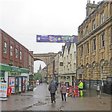
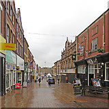
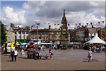
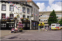
28 images in cluster Market Place in SK5361
Image clustering - assigning images labels - is an automated process, based on the image title/description. It's not totally accurate, and can sometimes assign images to odd clusters
in SK5361, near Mansfield/SK5361


Explore these images in the Browser or Explore matching images including in surrounding squares (if any!)
Other Automatic clusters in SK5361
- Leeming Street
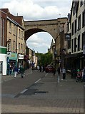
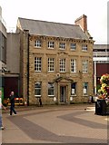
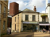
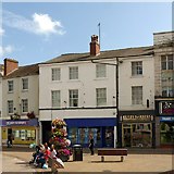
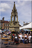
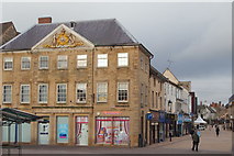
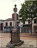
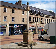
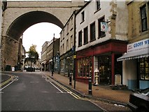
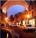
- Market Place
- Stockwell Gate
- Church Street
- West Gate
- Centre of Mansfield
- Town House
- St John
- Bus Station
- Westgate
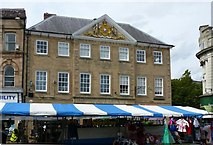
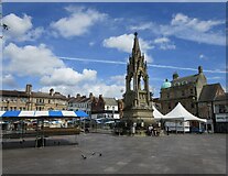
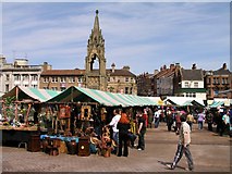
- Market Square
- 20th Century
- Chesterfield Road South
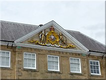
- Town Hall
- Car Park
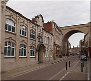
- Railway Viaduct
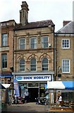
- Shop Fronts
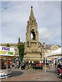
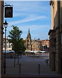
- Bentinck Memorial
- Old Meeting House Unitarian Chapel
- Wall
- General Hospital
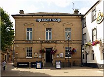
- Court House
- Converted to Shops
- Bench Mark
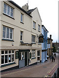
- Pub on Stockwell Gate
- Catholic Church of St Philip Neri
- Woodhouse Road
- Alternative View
- Brunts Charity
- Post Office
- Handley Arcade
- Pair of Early 19th Century Stone Houses
- Boots the Chemists Building
- College of Art Design
- Exchange Row
- Public Subscription Ran out before a Statue
- Public Library
- Crow Hill Drive
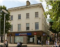
- Santander Bank
- Wetherspoons Pub
- A6191 Runs for 5 Miles between Mansfield
- North Porch
- Butter Cross
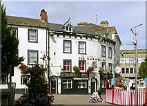
- Swan Hotel
- Co-operative Headquarters
- Solicitors' Offices