Showing most recent first, in descending order
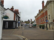
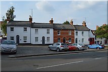
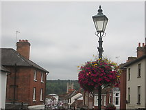
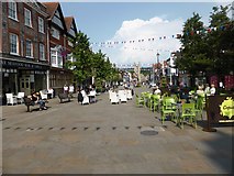
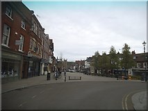
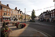
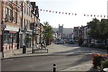
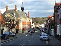
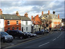
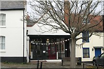
15 images in cluster Market Place in SU7582
Image clustering - assigning images labels - is an automated process, based on the image title/description. It's not totally accurate, and can sometimes assign images to odd clusters
in SU7582, near Henley-on-Thames
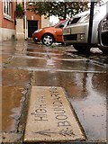
When: 6 October, 2009
By: Roger A Smith
Explore these images in the Browser or Explore matching images including in surrounding squares (if any!)
Other Automatic clusters in SU7582
- Gravel Hill
- Henley Town Hall
- Townlands Hospital
- Henley-on-Thames
- Market Place
- West Street
- Greys Road
- Henley on Thames
- Grade II Listed
- Looking
- Friar Park
- Entrance
- Hop Gardens
- Kings Road
- School Building
- Old fire Station
- Henley College along Gravel Hill
- Deanfield Avenue
- Footpath
- Ordnance Survey Cut Mark Benchmark Described
- Sign
- New Townlands Hospital
- Holy Trinity Church
- Paradise Road
- Henley Secondary Modern School
- Greys Rd
- Henley Library
- Buildings in the Background
- Bird in Hand
- Ancastle Green
- Ancastle Cottage
- Stuart Turner
- Terraced Row
- Valley
- Hart Street
- Baptist Church
- Near Corner
- Mount View
- Lambridge Lane
- Edge
- Hope Chapel
- Fallen
- Founded as a Tertiary College in 1987
- Stables