Showing most recent first, in descending order
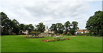
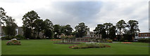
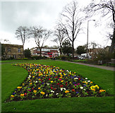
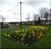
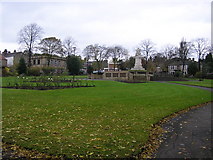
17 images in cluster Memorial Park in SE1925
Image clustering - assigning images labels - is an automated process, based on the image title/description. It's not totally accurate, and can sometimes assign images to odd clusters
in SE1925, near Cleckheaton
Explore these images in the Browser or Explore matching images including in surrounding squares (if any!)
Other Automatic clusters in SE1925
- Bradford Road
- Dewsbury Road
- Station
- Lane Spen
- Building
- View of Cleckheaton
- Bus Station
- Centre
- Station Road
- Seen
- Valley Road
- St Peg Lane
- Greenside
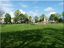
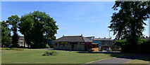
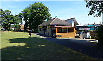
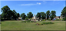
- Memorial Park
- Cleckheaton Town Hall
- Cheapside
- Gomersal Lane
- Albion Street
- Viaduct
- Pyenot Hall Lane
- Looking
- Market Street
- Near
- Wickham Arms
- Shop
- Providence
- Dewsbury Road A638
- St John the Evangelist
- Northgate
- Sign
- River Spen
- Neville Street
- Central
- Commercial
- A643
- Aakash Restaurant
- Stile
- Bradford Road A638
- Independent Methodist Chapel
- Place
- HSBC Bank
- Alternative View
- Factory
- Brooklyn Road
- Post Box
- Ordnance Survey Cut Mark
- Howard Park
- Boundary Stone
- Obediah Brooke
- Built in 1890
- Memorial Gardens
- Old Saw Public House
- Beechfield Terrace
- Footpath 68/5
- Originally for Railway Transport but Ended
- Church Grange
- Carpet Cuts
- Alley off Neville Street
- Mill Pond
- Area once Contained a School Building