Showing most recent first, in descending order
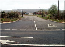
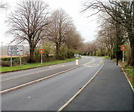
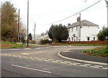
3 images in cluster Military Training Area in ST4690
Image clustering - assigning images labels - is an automated process, based on the image title/description. It's not totally accurate, and can sometimes assign images to odd clusters
in ST4690, near Caerwent, taken Thursday, 31 March, 2011, by Jaggery
Explore these images in the Browser or Explore matching images including in surrounding squares (if any!)
All images  © Jaggery and licensed for reuse under this Creative Commons Licence
Other Automatic clusters in ST4690
- Venta Silurum
- St Stephen St Tathan
- Parish Church of St Stephen St Tathan
- Remains of the Ancient Roman Market Town
- Town Walls
- Stone
- Caerwent House
- Churchyard
- Caerwent War Memorial
- Looking
- Built in the 13th Century using Stones
- Church of St Stephen and St Tathen
- Pound Lane
- Cottage
- Trees
- Road Sign
- Lych Gate
- 30mph Speed Limit
- Car Park
- Western Boundary of Caerwent
- Southern
- Rodge Farm
- Evangelical Chapel
- Northgate
- Military Training Area
- Forum
- Old Roman Town
- Entrance Leads
- Bus Shelter
- Caer-went
- Live
- Viewed in January 2016
- Disused School
- Elizabeth II Postbox on Llanvair Road
- Ordnance Survey Flush Bracket G3928
- Romano-Celtic Temple
- Information Board
- Llanvair Discoed