Showing most recent first, in descending order
4 images in cluster National Cycle Network Route in NS3373
Image clustering - assigning images labels - is an automated process, based on the image title/description. It's not totally accurate, and can sometimes assign images to odd clusters
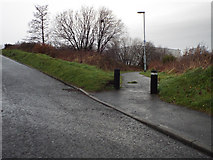
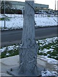
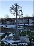
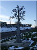
in NS3373, near Port Glasgow, by Thomas Nugent
When: 13 December, 2013
When: 11 February, 2009
When: 11 February, 2009
When: 11 February, 2009
Explore these images in the Browser or Explore matching images including in surrounding squares (if any!)
All images  © Thomas Nugent and licensed for reuse under this Creative Commons Licence
Other Automatic clusters in NS3373
- Dubbs Road
- Auchenbothie Road
- Clune Brae
- A761 Kilmacolm Road
- Cardross Road
- Viewed
- Bardrainney Avenue
- Boglestone Roundabout
- River Clyde
- High Carnegie
- Monkton Place
- Newark Primary School
- Shops
- Holy Family
- Princes Pier Railway Line
- Boglestone Community Centre
- Port Glasgow Cemetery
- Firth of Clyde
- Bridgend Avenue
- Heggies Avenue
- National Cycle Network Route
- Cottage
- St Michael's Primary School
- Benview Road
- Playtex Factory
- Hamilton Bardrainney Church
- Upper Port Glasgow Social Club
- Bogle Stone
- Boglestone Library
- Houses have been Demolished
- Camera
- Muirdykes Avenue
- Bus Stop
- Helensburgh and Glen Fruin
- Clinic which Stood here 2836249
- Crosshill Childrens
- Mid Auchenleck
- Kilmacolm Road Underpass
- Old Quarry at Southfield Avenue
- Mary the Virgin
- Recently Renovated Sheltered Housing off Auchenbothie Road