Showing most recent first, in descending order
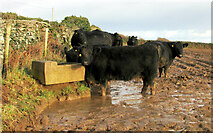
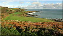
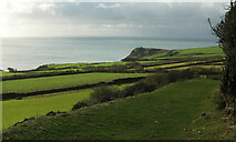
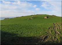
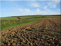
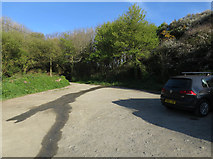
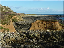
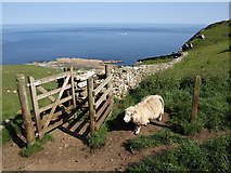
16 images in cluster Near Prawle Point in SX7735
Image clustering - assigning images labels - is an automated process, based on the image title/description. It's not totally accurate, and can sometimes assign images to odd clusters
in SX7735, near East Prawle
Explore these images in the Browser or Explore matching images including in surrounding squares (if any!)
Other Automatic clusters in SX7735
- South West Coast Path
- Rock
- Lookout at Prawle Point
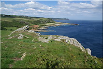
- Near Prawle Point
- Raised Beach
- Chivelstone Footpath
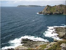
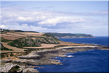
- Coast East of Prawle Point
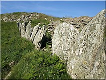
- Wall
- Lookout Station
- Langerstone Point
- View to Prawle Point
- Coastline
- Looking
- Near East Prawle
- Fish-in-the-Well Rock
- Western Cove
- Car Park
- Houses
- Field
- North
- Seen from the South West Coast Path
- Coastwatch Station
- Approaching Prawle Point
- Coastguard Cottages
- Past
- Road
- Gammon Head
- Bay
- Wall Near Signalhouse Point
- Coastal Erosion
- Old Wave Cut Platform
- Left of the Picture
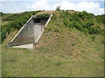
- WWII Bunker