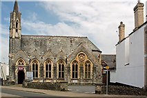
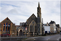
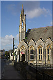
Showing most recent first, in descending order
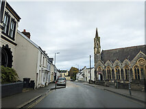
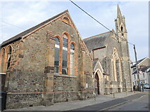
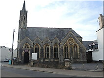
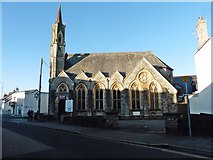
11 images in cluster Newport Methodist Church in SS5632
Image clustering - assigning images labels - is an automated process, based on the image title/description. It's not totally accurate, and can sometimes assign images to odd clusters
in SS5632, near Barnstaple
Explore these images in the Browser or Explore matching images including in surrounding squares (if any!)
Other Automatic clusters in SS5632
- Newport
- Road Barnstaple
- Trinity
- Coney Gut
- Newport Road
- Litchdon Street
- Rock Park
- River Taw
- Holy Trinity Church
- Penrose Almshouses
- Victoria
- Grade I Listed
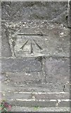
- Ordnance Survey Cut Mark
- Trinity Street
- Gloster Road
- Barbican Terrace
- Station
- Coney Gut Passing
- Salem
- John
- Grosvenor Church
- Grade II Listed Building
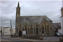
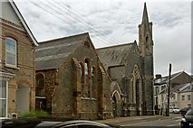
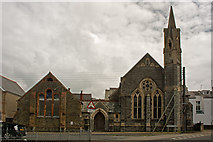
- Newport Methodist Church
- Barnstaple Junction
- Tower
- South Street
- Benchmark
- Riversvale
- North Devon
- Memorial
- Eastern Avenue
- Cycle Path
- Seen from Upstream
- Church of St Mary
- Entrance
- Closer Look
- Near Town Walk
- Box
- Car Park
- Purpose were these Brick Paved Areas Created
- New Road
- Brannam's Pottery
- Long Bridge
- Blue Plaque
- Union Terrace
- Barum Court
- Corner Shop
- County Car Sales
- Medical Centre
- Eddy's Lane
- Portmarsh Field
- Outfall for the Storm Tunnel which Leads
- Goods Yard was still Open in 1969
- Great Western Railway
- Lamp Post on Taw
- Publishing House