Showing most recent first, in descending order
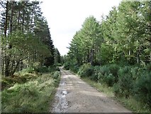
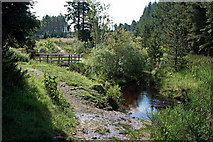
2 images in cluster North in NH7479
Image clustering - assigning images labels - is an automated process, based on the image title/description. It's not totally accurate, and can sometimes assign images to odd clusters
Explore these images in the Browser or Explore matching images including in surrounding squares (if any!)
Other Automatic clusters in NH7479
- Morangie Forest
- Aldie Burn Trail
- Aldie Water
- Track
- Ford
- Forestry Road
- Small
- Scottish Rights of Way Society
- Path Junction
- North
- Grave
- Forestry Commission
- Farmland
- Bridge
- Well-surfaced Waymarked Trail