Showing most recent first, in descending order
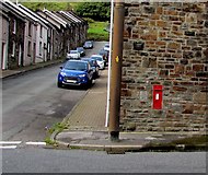
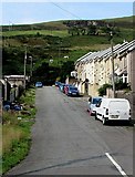
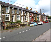
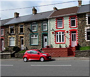
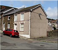
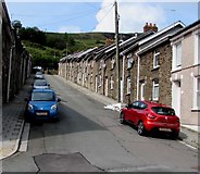
16 images in cluster North Road in SS9390
Image clustering - assigning images labels - is an automated process, based on the image title/description. It's not totally accurate, and can sometimes assign images to odd clusters
in SS9390, near Ogmore Vale

Explore these images in the Browser or Explore matching images including in surrounding squares (if any!)
Other Automatic clusters in SS9390
- High Street
- Commercial Street
- House in Ogmore
- Ogmore Vale Station
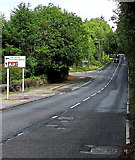
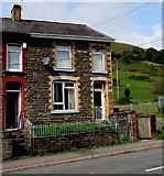
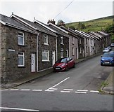
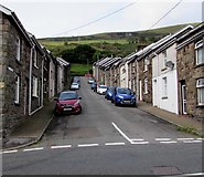
- North Road
- River Ogmore
- Bethania Row
- Tynewydd Row
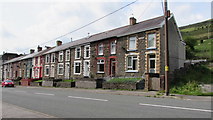
- Ogmore Valley
- Shop
- East
- Viewed in August 2018
- Name Sign
- Park Avenue
- Ogmore Vale Con Club
- Junction
- Ended in 1958
- Ogwr Fawr
- Blandy Terrace
- Glyn Street
- Looking North
- Derelict former Bethania Chapel
- Box
- National Cycle Network Route 883
- Western Power Distribution Electricity Substation
- Prospect Place
- King George
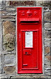
- Village Post Office
- Nameboard
- Wesleyan Methodist Chapel was Built in 1886
- School Road
- Bethel Primitive Methodist Church
- Bus Stop and Shelter
- Co-operative Wholesale Society Building
- Funeral
- Rebuild of the 1871 Original
- Old Mining Community
- Ogmore Vale Bar Restaurant
- Ogmore Vale Dental Surgery