Showing most recent first, in descending order
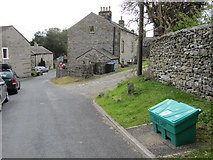
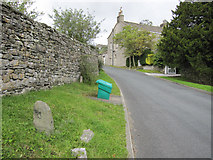
2 images in cluster Old Stocks in SD8267
Image clustering - assigning images labels - is an automated process, based on the image title/description. It's not totally accurate, and can sometimes assign images to odd clusters
in SD8267, near Stainforth/SD8267, taken Sunday, 28 August, 2011, by John S Turner
Explore these images in the Browser or Explore matching images including in surrounding squares (if any!)
All images  © John S Turner and licensed for reuse under this Creative Commons Licence
Other Automatic clusters in SD8267
- St Peter's Church
- Stainforth Village
- Stainforth Beck
- Parish Church of St
- Goat Lane above Stainforth
- Bench Mark
- Footpath between Stainforth
- View of Stainforth
- B6479
- Stepping Stones
- Ribble Way
- Footpath from Stainforth towards the Winskills
- Craven Heifer
- Pennine Bridleway
- House
- Passes
- Road Bridge
- Smearsett Scar
- Car Park
- Catrigg Force
- Field Gate
- Stainforth Main Street
- Memorial
- Green
- Ordnance Survey Cut Mark Benchmark Described
- Valley
- Track
- Field Barn
- Gateway
- Sign
- St Peter's Church Tower
- Grazing
- Memorial Plaque
- Interior is Pleasingly Simple
- Interior of the Parish Church of St
- Edge of the Image
- Blocked Doorway
- Old Stocks
- Altar