Showing most recent first, in descending order
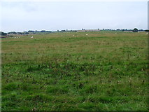
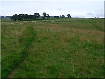
3 images in cluster Open Grassland in NZ1489
Image clustering - assigning images labels - is an automated process, based on the image title/description. It's not totally accurate, and can sometimes assign images to odd clusters
in NZ1489, near Stanton/NZ1389, taken Friday, 26 August, 2011, by ian shiell

Explore these images in the Browser or Explore matching images including in surrounding squares (if any!)
All images  © ian shiell and licensed for reuse under this Creative Commons Licence
Other Automatic clusters in NZ1489
- Fence Burn Near Morpeth
- Berryhill Wood Near Morpeth
- Abshields
- Flow
- Crooked Plantation
- Draining
- Berryhill Wood North-west of Morpeth
- Bank
- Old Field Boundaries
- Open Grassland
- Pipeline Marker
- South of Berryhill Wood Near Morpeth
- Line of Old Hedge Boundary
- Plantation by Fence Burn North-west of Morpeth