Showing most recent first, in descending order
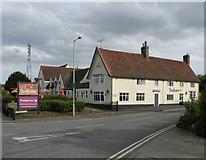
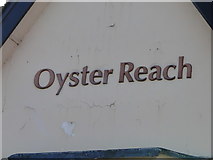
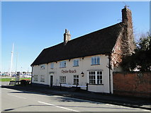
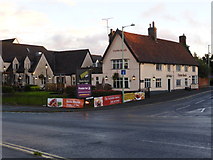
6 images in cluster Oyster Reach in TM1641
Image clustering - assigning images labels - is an automated process, based on the image title/description. It's not totally accurate, and can sometimes assign images to odd clusters
in TM1641, near Greenwich/TM1742
Explore these images in the Browser or Explore matching images including in surrounding squares (if any!)
Other Automatic clusters in TM1641
- Looking
- Power Station
- Approach
- Fox's Marina
- Near the Orwell Bridge
- Crossing
- Traffic
- Construction
- New Bridge
- Oyster Reach
- A137
- Plaque
- Red House
- Ipswich Docks
- Air
- Beefeater Restaurant
- Sentinel Terminal
- Taken Looking East from the B1456 Road
- Belstead Creek
- Stoke Park
- Stour and Orwell Walk
- A14 A12
- North
- View along Belstead Creek on its Approach
- Steps Lead
- Navigation Buoy
- Low Tide
- Industry
- COUNTY of Suffolk
- Black-headed Gulls
- Wherstead Park