Showing most recent first, in descending order
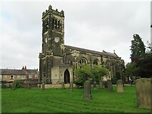
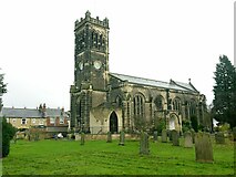
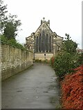
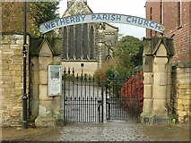
20 images in cluster Parish Church in SE4048
Image clustering - assigning images labels - is an automated process, based on the image title/description. It's not totally accurate, and can sometimes assign images to odd clusters
Explore these images in the Browser or Explore matching images including in surrounding squares (if any!)
Other Automatic clusters in SE4048
- Market Place
- North Street
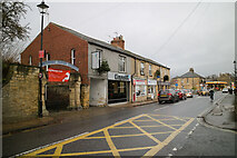
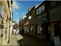
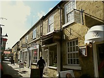
- High Street
- Wetherby Bridge
- River Wharfe
- Listed Grade
- Bank
- West Gate
- Town of Wetherby
- St James
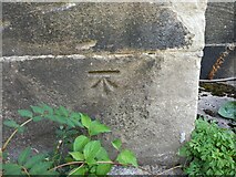
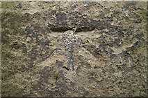
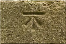
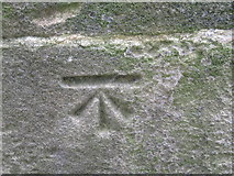
- Bench Mark
- Benchmark Cut
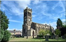
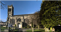
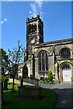
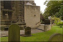
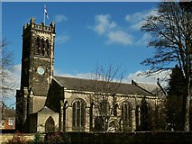
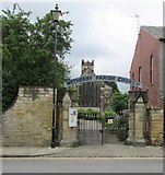
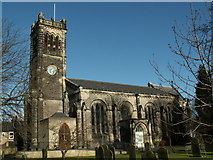
- Parish Church
- Deighton Road
- Barleyfields Road
- Close
- Hallfield Lane
- School
- Weir on the Wharfe
- Wetherby High Street
- Centre of Wetherby
- Blue Plaque
- Victoria Street
- Shambles
- Walton Road
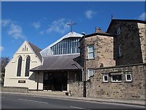
- St Joseph's Church
- Cross Street
- Crossley Street
- Wetherby East
- Closer View can be Seen
- Harland Way
- Bench Mark Database
- South West
- Garden of Rest
- Town Centre
- Sandringham Road
- Coaching Inns
- Scott Lane
- Gashouse Lane
- James's Street
- Northfield Place
- North Bank of the River Wharfe
- Wall of a House
- Building to the Right
- Huguenot Arch
- Mark can be found on the Wall
- Castle Gate
- Assembly Room
- Second Avenue
- Post Office
- Market Place A661
- Small Shops
- Junction of Market Place
- North Midland Railway
- Smiths Old Brewery of Tadcaster
- North Grove
- Various Plaques
- Town Council
- Angle of the Abutment on the North
- Weir and Gear
- Public Subscription
- Caxton Street
- Currently Closed
- Dates from 1845
- Entrance to Railway Path
- Located off Westgate
- Looks more Obviously Churchy than the Outside
- High Street is not Immediately Obvious
- Mauleverer Hall
- Parish in its own Right
- Passes through the Centre
- Bridge Abutment