Showing most recent first, in descending order
5 images in cluster Parracombe Lane in SS6644
Image clustering - assigning images labels - is an automated process, based on the image title/description. It's not totally accurate, and can sometimes assign images to odd clusters
in SS6644, near Parracombe
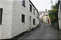
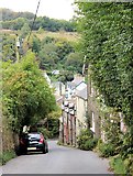
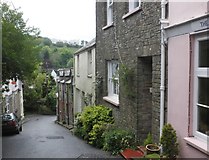
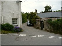
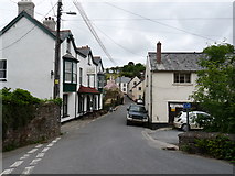
When: 20 June, 2009
By: Roger A Smith
Explore these images in the Browser or Explore matching images including in surrounding squares (if any!)
Other Automatic clusters in SS6644
- Parracombe
- Christ Church
- Parracombe Village
- Christ Church Churchyard
- Lynton and Barnstaple Railway
- Fox and Goose
- Memorial
- Parracombe Lane
- Centre of Parracombe
- Rowley Cross
- Disused Trackbed Near Parracombe
- Inside Christ Church
- Stained Glass Window
- Holwell Castle
- Runs down towards Parracombe Village
- Porch
- Public House
- Ordnance Survey Flush Bracket G4858
- Narrow Street
- A39 Near Parracombe
- Ley's Lane
- Lane Leading
- East
- Camera
- Bridge 57
- Valley