Showing most recent first, in descending order
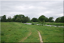
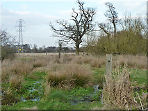
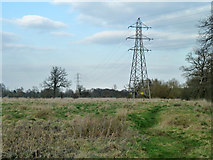
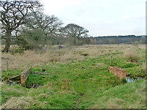
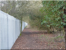
6 images in cluster Path in TQ0357
Image clustering - assigning images labels - is an automated process, based on the image title/description. It's not totally accurate, and can sometimes assign images to odd clusters
in TQ0357, near Pyrford Green
Explore these images in the Browser or Explore matching images including in surrounding squares (if any!)
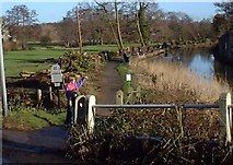
Other Automatic clusters in TQ0357
- Newark New Bridge
- Stream
- Newark Mill Bridge
- Left
- Water Meadows
- Point where the Navigation
- Abbey Stream
- Newark Lane Crosses
- Looking Downstream
- Newark Priory
- Path
- Newark Lane over the River Wey Navigation
- Carrying
- Footpath
- Boats
- River Wey Backwater
- Papercourt Lock
- Ockham Mill Stream
- Field
- Bridge Carrying Newark Lane
- Ditch
- West of Newark New Bridge
- Old Meandering
- Pools of Mist
- Ruins
- Alders at the Tip of Mid Island