Showing most recent first, in descending order
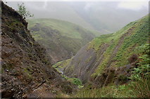
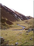
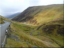
7 images in cluster Path Knowe in NT1915
Image clustering - assigning images labels - is an automated process, based on the image title/description. It's not totally accurate, and can sometimes assign images to odd clusters
in NT1915, near Raking Gill
Explore these images in the Browser or Explore matching images including in surrounding squares (if any!)
Other Automatic clusters in NT1915
- Raking Gill
- Moffat Dale
- Looking
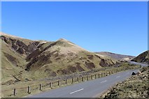
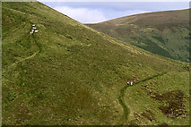
- Path Knowe
- Moffat Water
- Head
- Ordovician and Silurian
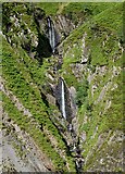
- Fall at Dob's Linn Waterfall
- Mid Rig
- Moffat Road
- Fossil Graptolites
- Dob's Linn Gorge
- Sheep
- Waterfall to Hide from Government Troops
- Burn in Dob s Linn
- Hill above the A708
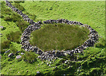
- Sheepfold
- Tucano
- Special Tail Hercules in the Moffat Valley
- Clouds
- Shale Beds at Dob's Linn
- Rock Strata
- Paper Hill