Showing most recent first, in descending order
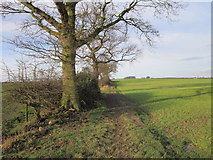
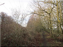
2 images in cluster Path Leading in SE3839
Image clustering - assigning images labels - is an automated process, based on the image title/description. It's not totally accurate, and can sometimes assign images to odd clusters
in SE3839, near Sandhills/SE3739, taken Saturday, 28 January, 2012, by Ian S
Explore these images in the Browser or Explore matching images including in surrounding squares (if any!)
All images  © Ian S and licensed for reuse under this Creative Commons Licence
Other Automatic clusters in SE3839
- Leeds Country Way
- Wood
- Thorner
- Redhills Plantation
- Saw Wood
- Ellerker Lane
- Leeds Country Way in Kiddal Wood
- Footpath
- Little Moor
- Leeds Country Way towards Thorner
- Path Leading
- Junction of Paths at Redhills Plantation
- Tree
- Littlemoor Farm Mapped in 1891 and 1950