Showing most recent first, in descending order
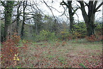
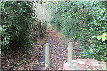
2 images in cluster Pen-rhiw Bengi in ST1898
Image clustering - assigning images labels - is an automated process, based on the image title/description. It's not totally accurate, and can sometimes assign images to odd clusters
in ST1898, near Blackwood/Coed Duon, taken Monday, 16 November, 2015, by M J Roscoe
Explore these images in the Browser or Explore matching images including in surrounding squares (if any!)
All images  © M J Roscoe and licensed for reuse under this Creative Commons Licence
Other Automatic clusters in ST1898
- Central Avenue
- Public House
- River Sirhowy
- Sycamore Gardens
- Terraced Houses
- Golf Course
- Woodland Path
- Village
- Field Footpath
- Alongside the B4251
- Minor Road
- Pen-rhiw Bengi Farm
- Terraced Houses under Construction
- Nant Philkins
- Golf Driving Range
- Disused Oakdale Hotel
- Ordnance Survey Cut Mark
- Car Park
- Yard Coal Rise
- St David's Church
- Track to Llys-pentwyn-uchaf
- New Path
- Bowling Green
- Cherry Trees
- Club
- Aberconway Place
- Opposite View
- DARKNESS LET THERE be LIGHT in Memory
- Pub Appears
- Pond 5927308 Near
- Sirhowy Valley Walk Crosses the Bridge
- Shopping Area
- Zebra Crossing