Showing most recent first, in descending order
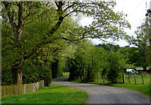
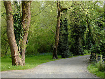
2 images in cluster Public Footpath in SO8688
Image clustering - assigning images labels - is an automated process, based on the image title/description. It's not totally accurate, and can sometimes assign images to odd clusters
in SO8688, near Ashwood/SO8688, taken Sunday, 8 May, 2016, by Roger D Kidd
Explore these images in the Browser or Explore matching images including in surrounding squares (if any!)
All images  © Roger D Kidd and licensed for reuse under this Creative Commons Licence
Other Automatic clusters in SO8688
- Ashwood Marina
- Staffordshire and Worcestershire Canal by Greensforge Lock
- Smestow River
- Smestow Brook
- Greensforge Lane
- Staffordshire and Worcestershire Canal Near
- Near Kingswinford
- Staffs Worcs Canal
- Swindon
- Narrowboats
- Canal Basin
- Navigation Locks
- Bridge No 37
- North
- Staffordshire and Worcestershire Canal South
- Farmland
- Work needs Constant Maintenance
- Navigation Pub
- Fourth Viscount Dudley Ward Agreed to Build
- Towpath
- Looking South
- Corn Mill again until it Closed
- Bridleway and Ashwood Lodge
- Junction
- Looking North-east
- Bellatrix
- Greenforge
- Public House
- Farm Land
- Lower
- Monarch's Way Long Distance Footpath Passes
- Crop Field
- Roman Road
- Private Marina
- Narrow Boat
- Pub Sign
- Entrance to Ashwood Marina
- Good Visitor Moorings
- Greensforge Lane Bridge No 37
- Basin was Originally
- Telephoto Assisted View
- Mile Flat
- Crosses the Scene
- West Bank