Showing most recent first, in descending order
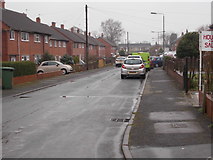
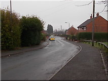
3 images in cluster Rhyddings in SE4316
Image clustering - assigning images labels - is an automated process, based on the image title/description. It's not totally accurate, and can sometimes assign images to odd clusters
in SE4316, near Ackworth Moor Top
Explore these images in the Browser or Explore matching images including in surrounding squares (if any!)
Other Automatic clusters in SE4316
- Wakefield Road
- Ackworth Moor Top
- Bell Lane
- Dando Way
- Woodhall Drive
- Village
- Mount Pleasant
- Club
- Footpath
- Barnsley Pontefract
- Chiltern Drive
- School
- Saints Church
- Hardakers Approach
- Line of the Brackenhill Light Railway
- MUGA
- Grove
- Stone Built Houses
- Holly Bank
- Banks Avenue
- Boot Shoe on Wakefield Road
- Woodleigh Crescent
- Constitution Hill
- Cricket
- Section of the Walkway Runs
- Commonly Referred to as Owd-folk's Bungalows
- Angel Pub
- Rhyddings
- Masons Arms
- Station
- Path Leading to Hessle
- North of Roundabout Junction
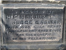
- Commemorative Stone
- Corner
- Garden Centre
- Fisheries
- Holt's Cottage
- Land
- Millennium
- Moor Top Avenue
- Area has been Planted with Rape


