Showing most recent first, in descending order
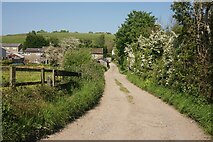
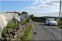
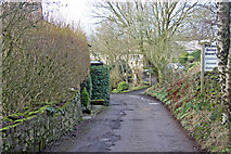
4 images in cluster Ridge in SJ9686
Image clustering - assigning images labels - is an automated process, based on the image title/description. It's not totally accurate, and can sometimes assign images to odd clusters
Explore these images in the Browser or Explore matching images including in surrounding squares (if any!)
Other Automatic clusters in SJ9686
- Bridge 21
- Turflea Lift Bridge
- Peak Forest Canal South-east of Marple
- Upper Peak Forest Canal Near Strines
- Hollinwood Lane Narrows
- Upper Peak Canal North-east of High Lane
- Plucksbridge
- Rawton Walls Bridge
- Swing
- Winding Hole
- Plucksbridge Road across the Peak Forest Canal
- Public Footpath so Boat Crews must Lower
- Marpleridge
- Cheshire Pasture North-east of High Lane
- Goyt Valley
- Upper Peak Canal at Turflea Narrows
- View from Ridge
- Ridge Fold
- Feature in the Current Numbering
- Strines Aqueduct
- Sportsman Public House
- South of Marple
- Ridge Quarry
- Narrow Boats
- Left is a Winding Hole
- Windlass Usually for Working Lock Paddles


