Showing most recent first, in descending order
5 images in cluster River Lox in TQ0631
Image clustering - assigning images labels - is an automated process, based on the image title/description. It's not totally accurate, and can sometimes assign images to odd clusters
in TQ0631, near Bucks Green
Explore these images in the Browser or Explore matching images including in surrounding squares (if any!)
Other Automatic clusters in TQ0631
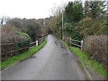
- Drungewick Lane
- Footpath
- Field
- Loxwood Road
- Newhouse Farm
- River Arun
- Near
- Whitegables Farm
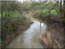
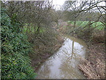
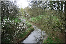
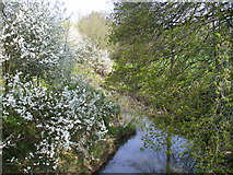
- River Lox
- Hale Oaks Farm
- Public Bridleway 1351
- Trees
- Tisman's Common
- Path
- Round Copse
- Footpath to Gibbons Mill
- Lane Looks Like a Well-surfaced Public Road
- Junction
- Kissing Gate
- Looking North
- Arun Canal