Showing most recent first, in descending order
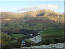
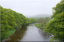
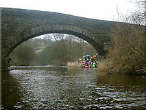
7 images in cluster River Lune From Crook of Lune in SD6296
Image clustering - assigning images labels - is an automated process, based on the image title/description. It's not totally accurate, and can sometimes assign images to odd clusters
in SD6296, near Beck Foot/SD6196
Explore these images in the Browser or Explore matching images including in surrounding squares (if any!)
Other Automatic clusters in SD6296
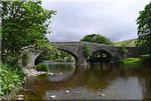
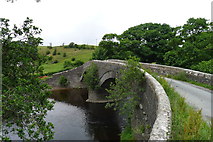
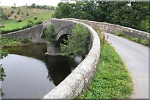
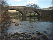
- Crook of Lune Bridge
- Pepperpot to the Salt Box
- Dales Way
- Fleet Holme
- River Lune From Crook of Lune
- Fell Head
- Taken
- Ordnance Survey Cut Mark Benchmark Described
- Walking towards the Crook of Lune Bridge
- View Upstream
- Narrow Bridge
- House
- Looking towards Lowgill Viaduct
- Near Riddings
- Gateway to Field From Minor Road
- Farmland Near
- Faces
- Brunt Sike
- Bend in the River just Downstream
- Approaching