Showing most recent first, in descending order
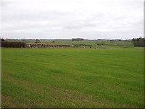
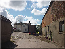
2 images in cluster Road in SD4650
Image clustering - assigning images labels - is an automated process, based on the image title/description. It's not totally accurate, and can sometimes assign images to odd clusters
in SD4650, near Marsh Houses
Explore these images in the Browser or Explore matching images including in surrounding squares (if any!)
Other Automatic clusters in SD4650