Showing most recent first, in descending order
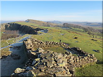
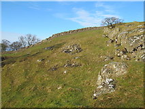
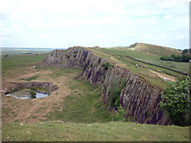
3 images in cluster Rock in NY6766
Image clustering - assigning images labels - is an automated process, based on the image title/description. It's not totally accurate, and can sometimes assign images to odd clusters
in NY6766, near Greenhead/NY6665
Explore these images in the Browser or Explore matching images including in surrounding squares (if any!)
Other Automatic clusters in NY6766
- Walltown Crags
- Near Walltown
- Turret 45A
- Disused Quarry
- West
- Disused Quarry Near Walltown
- Walltown Farm
- Hadrian's Wall Path
- West of Turret 45A
- Walltown Wood
- Looking North
- Walk
- Rough Pastures
- Farmland
- Top of Walltown
- Roman Wall
- Way
- Stone
- Comes to an Abrupt
- Nicks of Thirlwall
- Old Quarry
- Rock
- Disused Quarry by Walltown Wood
- Heading
- North towards 630936
- Particularly Well-preserved Section
- Runs 84 Miles from Bowness-on-Solway to Wallsend
- Run East-west more or less Straight
- Sign
- Farmhouse
- Legionnaire's View
- Lone Tree
- Milecastle 45
- Seen from the Hadrian's Wall Path
- Seen on the Far Hillside
- Reverse View