Showing most recent first, in descending order
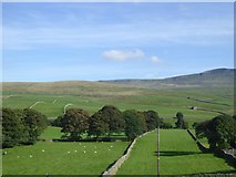
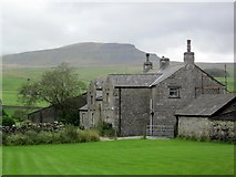
11 images in cluster Rowe Farm in SD8072
Image clustering - assigning images labels - is an automated process, based on the image title/description. It's not totally accurate, and can sometimes assign images to odd clusters
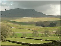
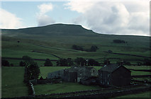
in SD8072, near Horton in Ribblesdale
Explore these images in the Browser or Explore matching images including in surrounding squares (if any!)
Other Automatic clusters in SD8072
- Bridge at Horton
- River Ribble
- Pen-y-ghent from Horton
- View of Horton in Ribblesdale
- New Inn Bridge
- Pennine Way
- Railway Station
- Horton-in-Ribblesdale Station
- Passes
- Building
- Houses
- Path
- Settle and Carlisle
- Car Park
- Brants Ghyll
- Carries the B6479
- Harber Scar Lane
- Carries the Road
- Run
- Gate
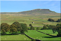
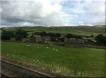
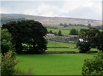
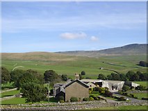
- Rowe Farm
- Pen y Ghent
- Wooden Footbridge
- Located
- Stone Wall
- Golden Lion Hotel
- Stile
- Station Platform
- Newhouses and High Birkwith
- Playing Field
- Tower of St Oswald's Church
- Flat Top of Ingleborough
- Leeds Train
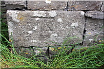
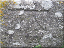
- Ordnance Survey Cut Mark Benchmark Described
- Midland Railway
- Post Office
- Line Maintenance
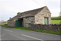
- Scalaber's Barn
- Projecting Bracket Benchmark
- Village Hall
- Long Distance
- Horton-in-Ribblesdale with the Diverted
- Looking Downstream
- Direction Sign
- Crown Pub
- River Meadow
- Crosses the Settle
- Heavy Quarry
- Allows a Footpath to Cut
- Old Vicarage
- Popular Walkers Cafe
- Seen in Context
- Near Corner
- Near the New
- North Parapet
- Returning to Hellifield after a Day Excursion
- Phone Box
- Southbound Platform