Showing most recent first, in descending order

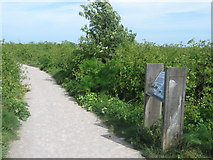
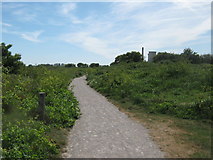
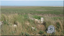
11 images in cluster Sandwich Bay in TR3462

Image clustering - assigning images labels - is an automated process, based on the image title/description. It's not totally accurate, and can sometimes assign images to odd clusters

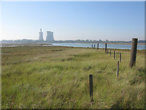
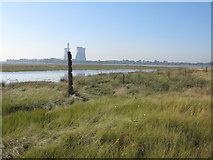
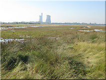
in TR3462, near Richborough Port


TR3462 : No entry in this direction by Bill Boaden
No entry in this direction
When: 29 June, 2012
By: Bill Boaden
TR3462 : View across the mouth of the Stour by Bill Boaden
View across the mouth of the Stour
When: 29 June, 2012
By: Bill Boaden
TR3462 : Natural drainage channel in the Stour estuary by Bill Boaden
Natural drainage channel in the Stour estuary
When: 29 June, 2012
By: Bill Boaden
TR3462 : Marshland at northern end of Sandwich Bay by Nick Smith
Marshland at northern end of Sandwich Bay
When: 29 September, 2011
By: Nick Smith
TR3462 : The River Stour from Sandwich Bay by Nick Smith
The River Stour from Sandwich Bay
When: 29 September, 2011
By: Nick Smith
TR3462 : Marshes on Sandwich Bay, near the mouth of the river by Nick Smith
Marshes on Sandwich Bay, near the mouth of the river
When: 29 September, 2011
By: Nick Smith
TR3462 : View from near the river mouth at Sandwich Bay by Nick Smith
View from near the river mouth at Sandwich Bay
When: 29 September, 2011
By: Nick Smith
TR3462 : Marshland at Sandwich Bay by Nick Smith
Marshland at Sandwich Bay
When: 29 September, 2011
By: Nick Smith
TR3462 : Information Board in Pegwell Bay Nature Reserve by David Anstiss
Information Board in Pegwell Bay Nature Reserve
When: 23 May, 2011
By: David Anstiss
TR3462 : Path in Pegwell Bay Nature Reserve by David Anstiss
Path in Pegwell Bay Nature Reserve
When: 23 May, 2011
By: David Anstiss
TR3462 : Pegwell Bay Nature Reserve by David Anstiss
Pegwell Bay Nature Reserve
When: 23 May, 2011
By: David Anstiss

Explore these images in the Browser or Explore matching images including in surrounding squares (if any!)


Other Automatic clusters in TR3462
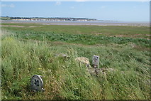
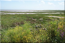
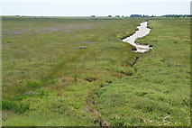
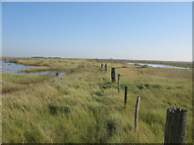
  1. Sandwich Bay
  2. Nature Reserve
  3. Pegwell Bay Marshes
  4. Thanet Coastal Path
  5. Banks of the River Stour
  6. Path in the Nature Reserve
  7. Pegwell Bay Country Park
  8. Marshland
  9. Viking Coastal Trail
  10. Pegwell Bay NNR
  11. Shell Ness
  12. Wharf at Port Richborough
  13. Near the Mouth of the River
  14. Looking
  15. Thanet Coast Path
  16. Seen from a Path
  17. Seals Resting
  18. Saxon Shore Way
  19. Salt Marsh
  20. Richborough Power Station
  21. Pier or Wharf
  22. Marker Post
  23. Access Land
You are not logged in login | register