Showing most recent first, in descending order
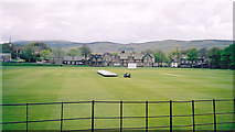
6 images in cluster Sedbergh School Playing Fields in SD6592
Image clustering - assigning images labels - is an automated process, based on the image title/description. It's not totally accurate, and can sometimes assign images to odd clusters
Explore these images in the Browser or Explore matching images including in surrounding squares (if any!)
Other Automatic clusters in SD6592
- Sedbergh Main Street
- Sedbergh St Andrew
- St Andrew's Parish Church
- Lane
- Sedbergh Town
- Finkle Street
- Sedbergh and Winder
- Grade I Listed
- Red Lion
- Sedbergh War Memorial
- Sedburgh
- Shop
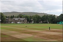
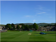
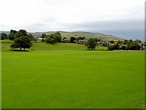
- Sedbergh School Playing Fields
- A684
- Bull Hotel
- Yard
- Footpath
- Sedbergh School Library
- Road
- Bank
- Red Lion and the White Hart
- Narrow Main Street
- Interior
- Howgill Fells
- United Reformed Church
- Social Club
- Tourist Information Centre
- Tardis Cottage
- Cafe
- Clock Dial
- Dalesman Country
- Diamond Jubilee Drinking Fountain
- Sedbergh Sheep Fest
- Kings Yard
- Posting Box
- Picture was Taken Looking
- North and South Faces of the Plinth
- Loftus Hill