Showing most recent first, in descending order
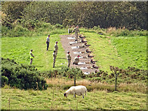
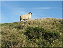
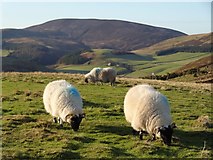
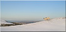
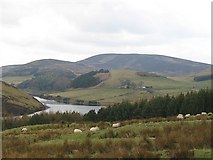
5 images in cluster Sheep in NT2264
Image clustering - assigning images labels - is an automated process, based on the image title/description. It's not totally accurate, and can sometimes assign images to odd clusters
in NT2264, near Woodhouselee
Explore these images in the Browser or Explore matching images including in surrounding squares (if any!)
Other Automatic clusters in NT2264
- Glencorse Reservoir
- Summit of Castlelaw Hill
- Live Firing Range
- Military Road
- Red Flag
- Path
- Fence
- Southern side of the Hill
- Sheep
- Road over the Pentland Hills between Dreghorn
- Flying
- Shooting Range
- Rifle
- Turnhouse Hill
- Allermuir Hill
- Snow Covered
- Clouds
- Northern Pentland Hills
- M.O.D.
- Boundary
- Red Flag Flying
- Black Hill
- Seen
- Military Training
- Edinburgh Due
- Eastern Slopes
- Aerial
- Upper