Showing most recent first, in descending order
16 images in cluster Sign in TM1389
Image clustering - assigning images labels - is an automated process, based on the image title/description. It's not totally accurate, and can sometimes assign images to odd clusters
in TM1389, near Pristow Green
Explore these images in the Browser or Explore matching images including in surrounding squares (if any!)
Other Automatic clusters in TM1389
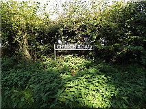
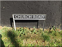
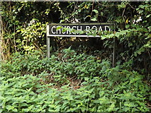
- Church Road
- Norfolk
- Pristow Green Lane
- View of the Memorial
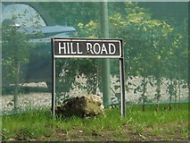
- Hill Road
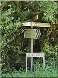
- Sign
- Mill Road
- Tibenham Community Hall
- Exterior View of this Medieval Church
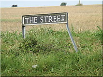
- Junction with the Street
- 445th Bombardment Group
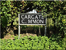
- Junction with Cargate Common Road
- Footpath
- Churchyard
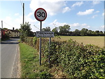
- Village
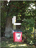
- Tibenham Postbox
- Entrance
- Kneelers
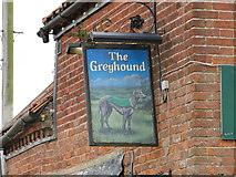
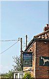
- Greyhound Public House
- Old School
- Tower
- South Aisle
- Notice Board
- Entrance to All Saints Church
- Jacobean Pulpit
- Building has a Partly Thatched Roof
- Traceried Font at the West
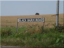
- Track Off Black Barn Road
- Biblical Quotation
- Tibenham Parish Walks Map Village Notice Board
- Courtyard of the Black Barn
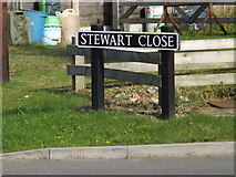
- Stewart Close
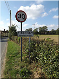
- Entering Tibenham on Hill Road
- Road Past All Saints
- Ordnance Survey Cut Mark
- Hatchment on the Early C17th Buxton Pew
- Looking