Showing most recent first, in descending order
5 images in cluster Sign in TM2956
Image clustering - assigning images labels - is an automated process, based on the image title/description. It's not totally accurate, and can sometimes assign images to odd clusters
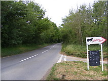
in TM2956, near Wickham Market, taken Monday, 16 May, 2011, by Geographer
Explore these images in the Browser or Explore matching images including in surrounding squares (if any!)
All images  © Geographer and licensed for reuse under this Creative Commons Licence
Other Automatic clusters in TM2956
- B1078 Border Cot Lane
- Thong Hall Road
- Glevering Bridge
- Looking towards the B1078 Border Cot Lane
- Wickham Market Bridleway
- Easton Road
- River Deben
- Valley Farm
- Road Near
- Junction with the B1078
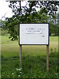
- Glevering Mill Golf Course
- Road No.C329
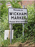
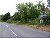
- Leading to Wickham Market
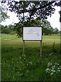
- Wickham Market Playing Field
- Looking towards Charsfield
- Little Lane Bridleway to Broad Road
- Junction with Easton Road Road
- Entrance
- Sign
- Footpath to Dallinghoo Road
- Brick and Formed Part of the Watermill
- Wickham Market Playing Field Pavilion
- West of Wickham Market
- Postbox No.IP13 6381
- Simon's Cross
- Minor Road
- Woodland Access