Showing most recent first, in descending order
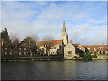
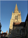
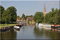
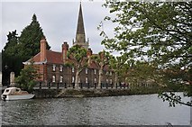
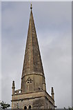
18 images in cluster Spire in SU4996
Image clustering - assigning images labels - is an automated process, based on the image title/description. It's not totally accurate, and can sometimes assign images to odd clusters
Explore these images in the Browser or Explore matching images including in surrounding squares (if any!)
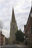
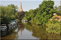
Other Automatic clusters in SU4996
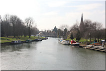
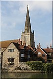
- River Thames
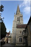
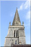
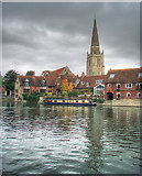
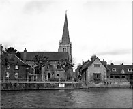
- St Helen's Church
- Street Abingdon
- East St Helen's Street
- St Helen's Wharf
- Bridge over the Thames
- View of Abingdon
- Thames Path
- Looking from St
- Nags Head
- Long Alley Almshouses
- Spire
- Old Anchor
- Boat
- Nags Head Island
- Old Bridge
- Junction
- Abingdon Town
- Wilts Berks Canal
- Old Gaol
- Burford Bridge
- Arch
- Near
- Riverside
- Bank of the Thames
- Wall
- Porch
- Christ's Hospital
- Entrance
- Sign
- Part of Abingdon Bridge
- Historic Church
- Public House
- Morlands Brewery
- Police Station
- Wilsham Road
- Junction with the Wilts and Berks Canal
- Ordnance Survey Cut Mark Benchmark Described
- Abbey Stream
- Orange Way after Wiltshire
- Looks Like
- Looking Downstream
- Row was Built
- Taken from the East
- Approaching the Junction
- Boundary Marker
- Cross Keys
- Benchmark on Wall
- Street is Regarded by Pevsner
- West Bank
- Fairlawn Wharf
- Arts Centre
- Broad Face Pub
- Place was Closed
- King's Head and Bell
- Building is Grade I Listed
- Charles Twitty Left 1,700 in 1709
- Exploring their own Path
- Seen in the Background
- Far North Eastern Section
- Ock Valley Walk
- Plane Trees
- Plaques over the Doorway
- Window in the West