Showing most recent first, in descending order
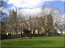
21 images in cluster St Martin's Church in SE1423
Image clustering - assigning images labels - is an automated process, based on the image title/description. It's not totally accurate, and can sometimes assign images to odd clusters
in SE1423, near Brighouse/SE1423
Explore these images in the Browser or Explore matching images including in surrounding squares (if any!)
Other Automatic clusters in SE1423
- Bradford Road
- Lightcliffe Road
- Wellholme Park
- Waterloo Road
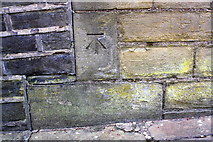
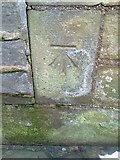
- Benchmark on Wall
- Halifax Road
- Old Lane
- Clifton Beck
- Ordnance Survey Cut Mark Benchmark Described
- Junction
- Thornhill Bridge Lane
- Close
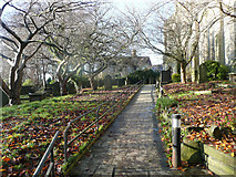
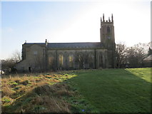
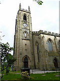
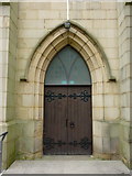
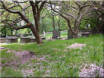
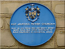
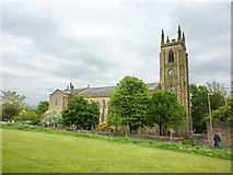
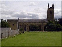
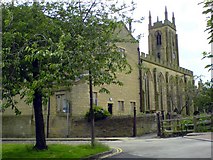
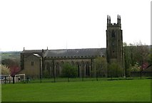
- St Martin's Church
- Ford
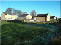
- Houses on the Right
- Car
- Rayner Road
- Oak Hill
- Near
- Smithy Carr Lane
- Cross
- Street Junction
- Road Face
- High Street
- Corner of the Wall
- Back-to-back Houses
- Ritz Ballroom
- Marion Street
- Brighouse Library
- Disused Railway
- Brighouse fire Station
- Oak Hill Bank
- Henry Street
- Oddfellows Street
- Upper Bonegate
- Old Maps
- Industrial Street
- Bonegate Court
- Tesco Roundabout
- Recreation Ground
- Buildings Shown
- Rydings Avenue
- Rayner Drive
- Secondary School
- Large Area
- Waring Green Community Centre
- Bingo Hall
- Cherry Tree in the Churchyard
- Public Park
- Looks Like
- Stone Post
- Bingo Hall in 1961
- Catholic Church
- Sunnybank Terrace
- Wall on North side of High Street
- Modern Path
- Alternative View
- Gardens and a Narrow
- New Fence
- Loyal Peace Terrace
- Looking towards Smithy Carr Lane
- Liberal Club
- Part of Wellholme Park
- Pegs Mill
- Playing Field
- Public Footpath
- Hepworth Court
- Granny Hall Lane Lightcliffe Road Junction
- Wooded Hillside