Showing most recent first, in descending order
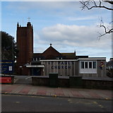
10 images in cluster St Paul's Church in SX8962
Image clustering - assigning images labels - is an automated process, based on the image title/description. It's not totally accurate, and can sometimes assign images to odd clusters
Explore these images in the Browser or Explore matching images including in surrounding squares (if any!)
Other Automatic clusters in SX8962
- Preston Down Road
- Livermead
- Hollicombe Beach
- Road Junction
- Torquay Road
- Hollicombe Lake Valley
- Acre Brake
- Hollicombe Park
- Mead Road
- Broadpark Road
- Paignton and Torquay
- Cockington Lane
- A3022
- Round Hill
- Barnfield Road
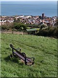
- Coast Path
- Path Runs
- Footpath TQ
- Railway Line
- Carlton Drive
- Great Headland Crescent
- Seen from its Junction
- Sandringham Gardens
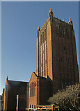
- St Paul's Church
- Langdon Road
- Reverse View
- Upper
- Bridge
- Gas Works
- Looking the other Way
- Water
- Coastal Path
- South West
- Hilton Crescent
- Old Boundary between Torquay and Paignton
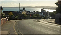
- Tor Bay
- Berry Head
- Steps
- Church Tower
- Branksome Close
- Rock Armour
- George V Postbox TQ3
- Preston Primary School
- Southern end of the Beach
- Stretch of Lane
- Red Sandstone
- Red Sand
- Scadson Woods
- Locarno Avenue
- Track Linking
- Fallen Tree
- Junction with Sandringham Gardens
- Permian Sandstone Cliffs
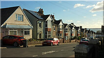
- Rear of Houses
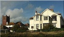
- Modernist House
- Approaching the Top
- Riviera Line
- Bank of the Stream
- Torquay Rd
- Torbay Rd
- Retaining Wall
- Strip of Woodland