Showing most recent first, in descending order
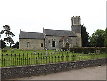
19 images in cluster St.Remigius Church in TM0980
Image clustering - assigning images labels - is an automated process, based on the image title/description. It's not totally accurate, and can sometimes assign images to odd clusters
in TM0980, near Diss, taken Saturday, 23 May, 2015, by Geographer


Explore these images in the Browser or Explore matching images including in surrounding squares (if any!)
All images  © Geographer and licensed for reuse under this Creative Commons Licence
Other Automatic clusters in TM0980
- St Remigius Roydon
- Church of St Remigius in Roydon
- A1066 High Road
- Junction with Doit Lane
- Norfolk
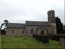
- St.Remigius Church
- Roydon War Memorial
- 19th Century when the South Aisle
- Junction with the A1066 High Road
- Hall Lane
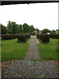
- Churchyard
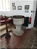
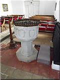
- Font
- White Hart
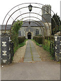
- View of the Church
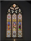
- Stained Glass Window
- Medieval Corbel Head in North Aisle
- Looking towards the A1066 High Road
- Car
- Church of St Renigius
- White Hart Public House
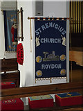
- Banner
- Baynard's Green
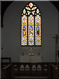
- East
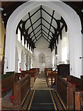
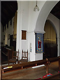
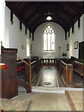
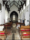
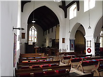
- Inside of St.Remigius Church
- Floor Memorial
- Roll of Honour
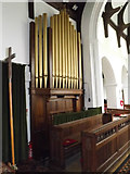
- Organ of St.Remigius Church
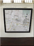
- St.Remigius Church Notice Board
- St.Remigius Church Path
- Ordnance Survey Flush Bracket G1606
- Near
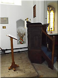
- Lectern