Showing most recent first, in descending order
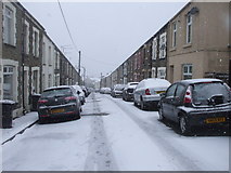
3 images in cluster Station in SO0708
Image clustering - assigning images labels - is an automated process, based on the image title/description. It's not totally accurate, and can sometimes assign images to odd clusters
in SO0708, near Merthyr Tydfil

Explore these images in the Browser or Explore matching images including in surrounding squares (if any!)
Other Automatic clusters in SO0708
- Dowlais Top
- Merthyr Tydfil
- A465
- Tredegar Arms
- Asda Car Park
- High Street
- Station
- Asda Superstore
- Dowlais Top Reservoir
- National Cycle Route 46
- Footpath
- Pengarnddu Bridge
- Pengarnddu Industrial Estate
- Short
- Ordnance Survey Cut Mark